
A 16-year-old hiker was airlifted from the mountains north of Vancouver after directions generated by the Claude chatbot took him far from his intended route and toward a technical rock climb, according to a Guardian report published October 8. The incident has prompted rescuers to warn that artificial intelligence cannot substitute for local knowledge, navigation skills and decisions made in the field.
Bryce Vincent Gowryluk began the trip by taking a gondola to the top of Grouse Mountain. While ascending, he asked Claude to plan a route to nearby Crown Mountain and back. The normal trek involves more than 2,000 feet of elevation gain, typically takes about eight hours and is described by hiking guides as unsuitable for beginners.
Gowryluk was an experienced indoor climber, but the route generated during the trip led him away from the planned course as he moved through Crown Pass, Crater Slabs and a boulder-filled valley. He eventually reached the final headwall of the Widowmaker Arete, a 1,700-foot route that requires technical climbing equipment and a deliberate ascent plan.
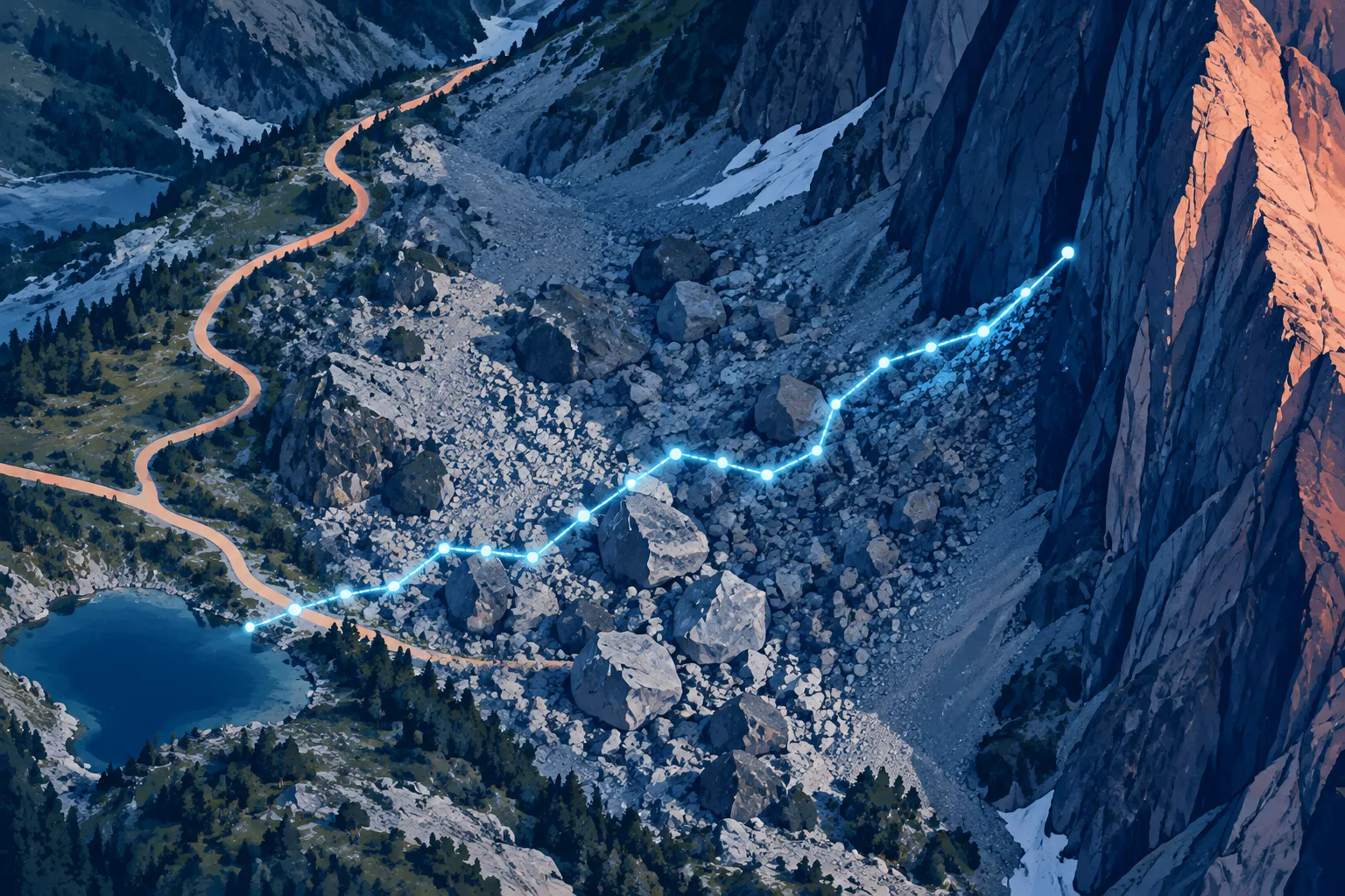
The terrain exposed a crucial difference between hiking readiness and mountaineering readiness. The Guardian reported that the headwall requires ropes and protective equipment such as cams. Gowryluk had neither. After beginning to climb, he recognized that the rock was too steep and that he was trapped at the base of a cliff.
He called his mother and then contacted emergency services. North Shore Rescue dispatched a helicopter, but the aircraft could not approach closely because he was positioned near the rock face. Two rescuers were lowered to reach him, and the team then lifted him out and flew him to its base near Cleveland Dam.
The rescue crew later said Gowryluk was far from his intended route. Search manager Paul Markey told the Guardian that the teenager had a headlamp, suitable clothing, boots, spare food and a backup battery. In Markey’s assessment, he was reasonably equipped for hiking and scrambling but not for the rock climbing he encountered.
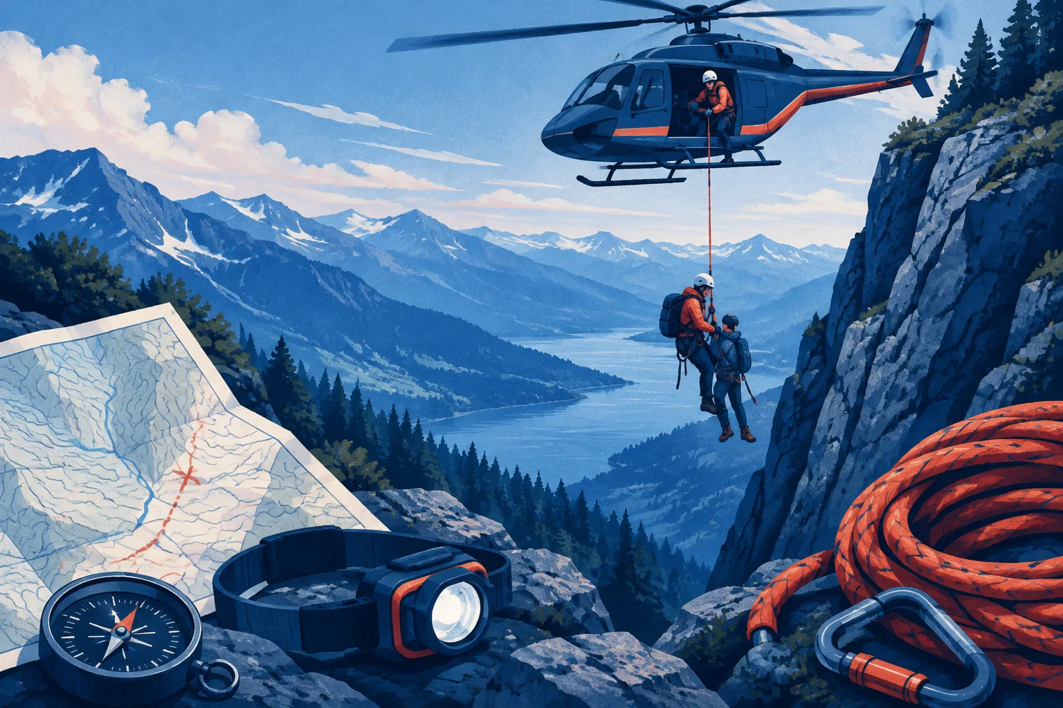
Markey’s warning was broader than one chatbot. He said Claude had no direct experience of the terrain and could only offer a limited description of the area. He also described a wider shift toward electronic navigation tools at the expense of map-and-compass training, which rescuers regard as essential preparation rather than an optional backup.
The region has already seen other navigation failures involving digital tools. In July, three people needed rescue on the Howe Sound Crest Trail after Google Maps suggested that a route that can take as long as 14 hours could be completed in just over five. Markey said some apps also display routes that rescue teams would prefer not to identify as trails because users may mistake them for safe, established paths.
The Guardian said the Claude incident is believed to be the first case in which a hiker became lost because of AI directions. That description remains provisional, but the underlying safety lesson is concrete: a plausible route description does not verify terrain, weather, equipment requirements or the user’s ability to continue.
For wilderness travel, AI can provide ideas, but it cannot inspect the slope ahead, recognize when a trail has vanished or take responsibility for turning back. Rescuers’ advice is to use proper education, training, maps, field judgment and local route knowledge—and never follow an AI-generated plan without independently checking it.
Comments
Loading comments…